View Download Maps
OstpreuÔen |
West PreuÔen |
Schlesien Page 1 |
Schlesien Page 2 |
Schlesien Page 3 |
City Maps
Return to kartenmeister.com
Instructions:
To download map, you may either:
The map size is noted with the map picture.
| Schlesien Page 2 | |
 |
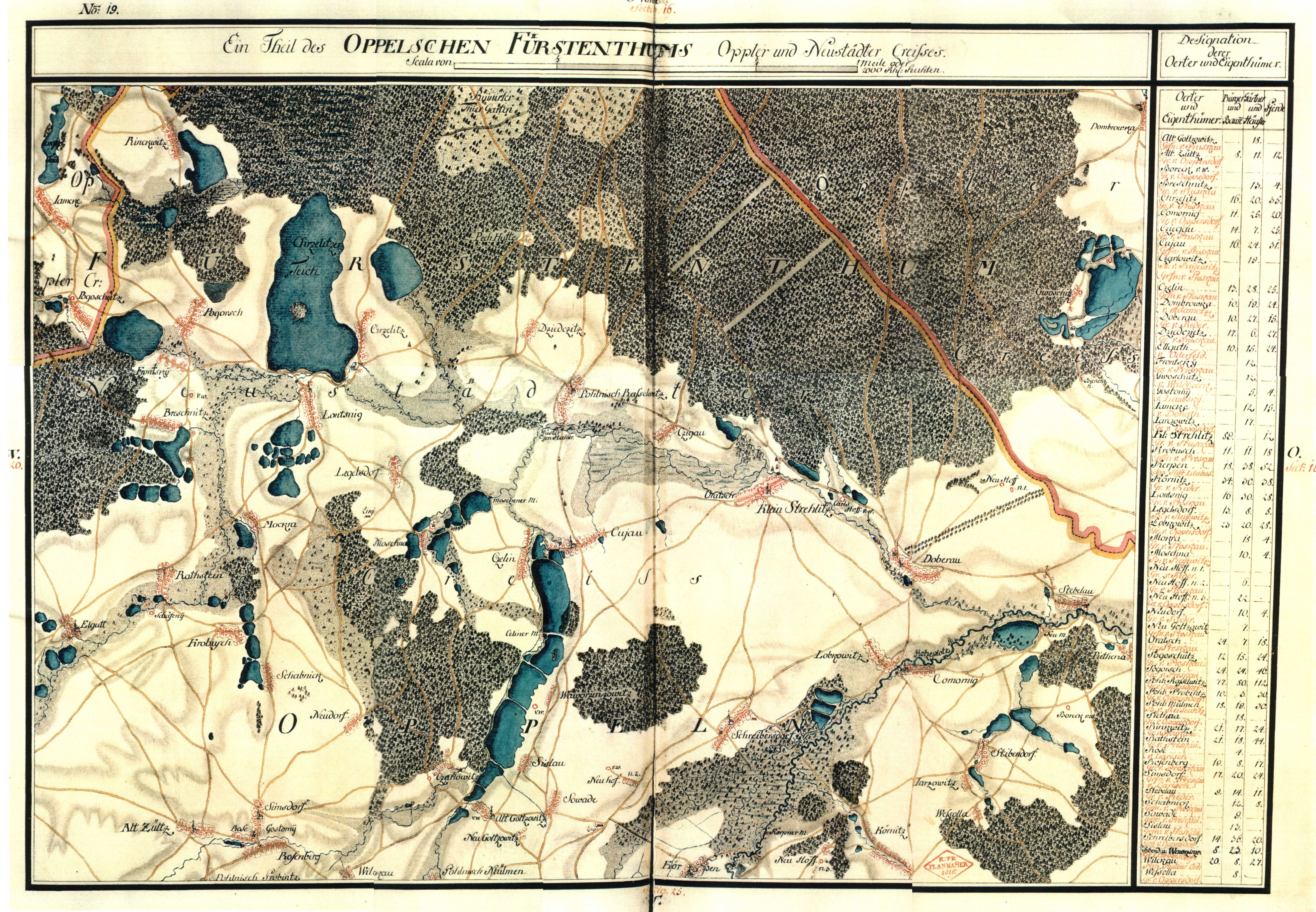
Oberschlesien 1820 624 x 432 (w x h) 217 KBs Open Map |
 |
Oberschlesien 1937 5768 x 6398 (w x h) 9.97 MBs Open Map |
 |
Ottok 1825 4110 x 4048 (w x h) 14.1 MBs Open Map |
 |
Principatus Silesiae Oppoliensis 1736 9000 x 6196 (w x h) 14.5 MBs Open Map |
 |
Ratibor 1567 1616 x 1600 (w x h) 478 KBs Open Map |
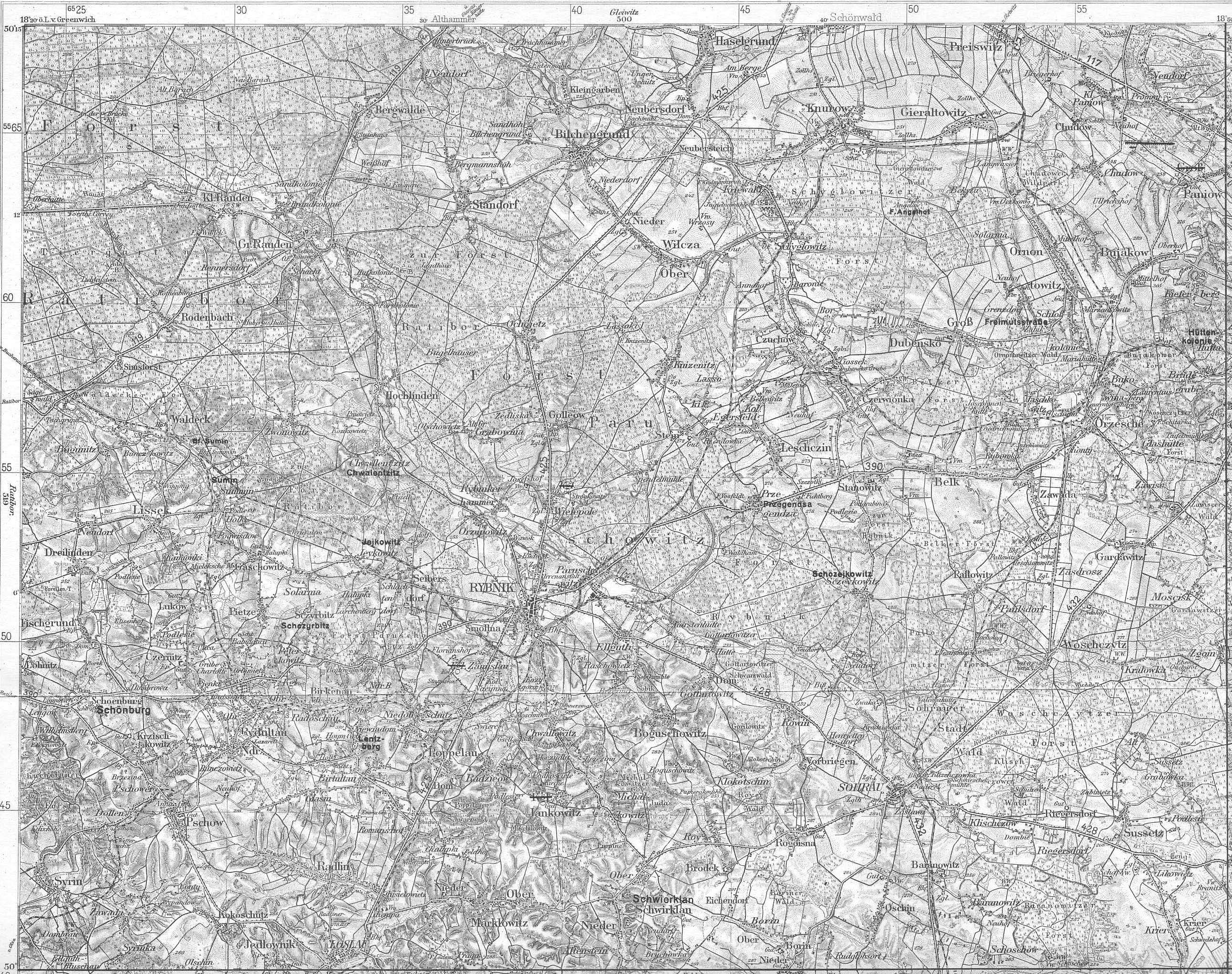 |
Rybnik Grossblatt 128 2583 x 2042 (w x h) 2.16 MBs Open Map |
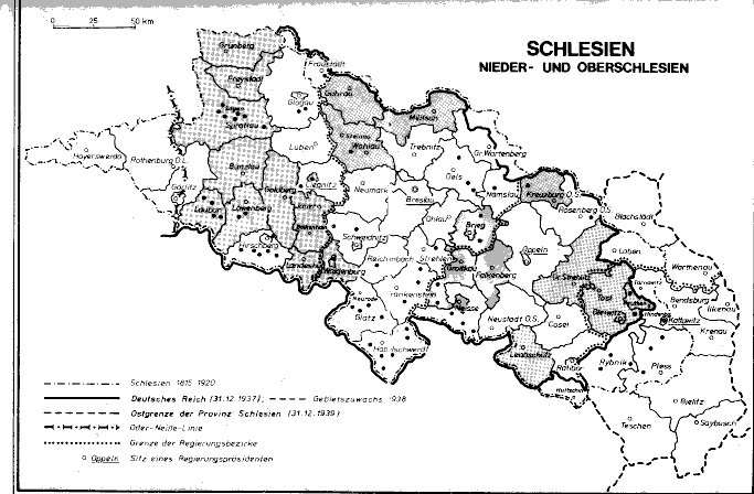 |
Schlesien Grenzen 683 x 448 (w x h) 115 KBs Open Map |
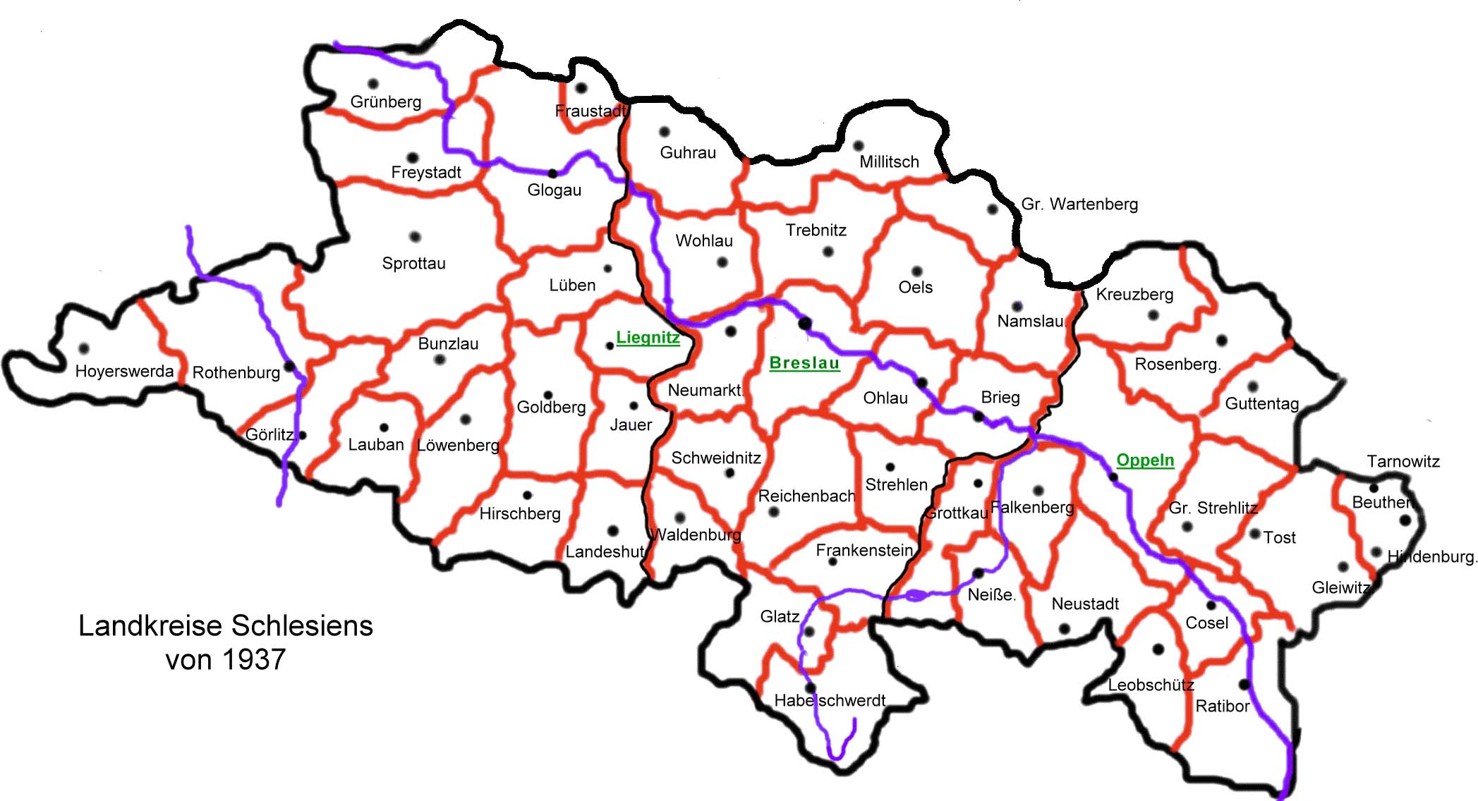 |
Schlesien Kreise 1937 2095 x 1136 (w x h) 201 KBs Open Map |
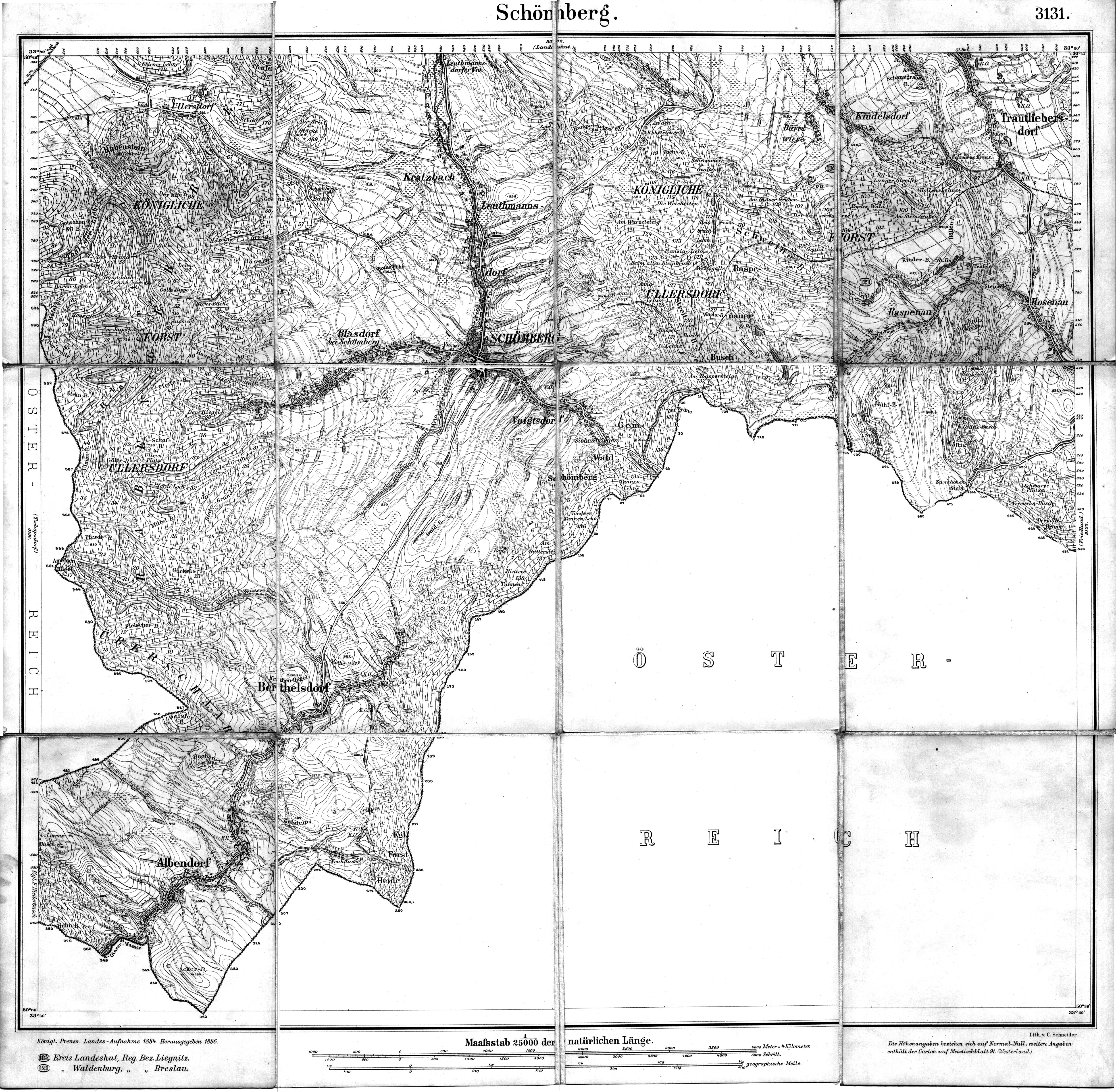 |
Schomberg 5000 x 4892 (w x h) 5.06 MBs Open Map |
 |
Wrede Ellguth 1746 6150 x 4266 (w x h) 5.55 MBs Open Map |
 |
Wrede Loslau 1746 5292 x 3807 (w x h) 7.04 MBs Open Map |
 |
Wrede Ottok-Z■lz 1746 5280 x 3840 (w x h) 7.03 MBs Open Map |
 |
Z■lzMeÔtischblatt1937 5532 x 7472 (w x h) 6.35 MBs Open Map |